Drone Surveying & Environmental Mapping in the Garden Route
Aerial Perspective Partners
About Us
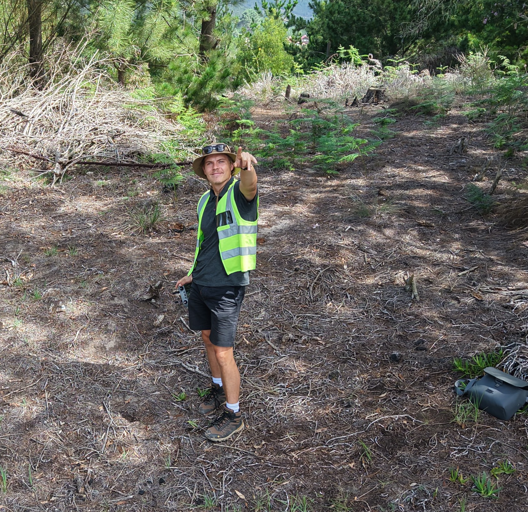
Aerial Perspective Partners provides structured drone-based geospatial data to support environmental management, compliance, land management and decision-making.
Operating under SACAA-compliant commercial structures, we deliver orthomosaic, digital surface models, plant health analysis (RGB), 3D renders, and KMZ outputs that integrate seamlessly into professional workflows.
Based in the Garden Route, Western Cape, we provide professional drone surveying, orthophoto mapping, and environmental monitoring services across South Africa.
Our focus is simple:
Clear data. Defensible baselines. Repeatable monitoring.
Justin Brittion – Director
Structured environmental insight supported by practical drone-based geospatial data capture.
Janet Ebersohn – Director

Environmental management leadership grounded in local knowledge and project experience.
We understand local importance
Services
Geospatial Data (KMZ)
Visual example
Interactive Web Applications — View & Toggle Your Data Online
We now deliver your geospatial data as a custom-built web application. Toggle between capture dates, switch data layers on and off, and share a live link directly with stakeholders — no GIS software required.
Request a Web App Demo